How to Find Surf Fishing Reports Online for Accurate Updates
Learn how to find surf fishing reports online with tips on using timestamped observations, local updates, tides, and weather for better fishing success.
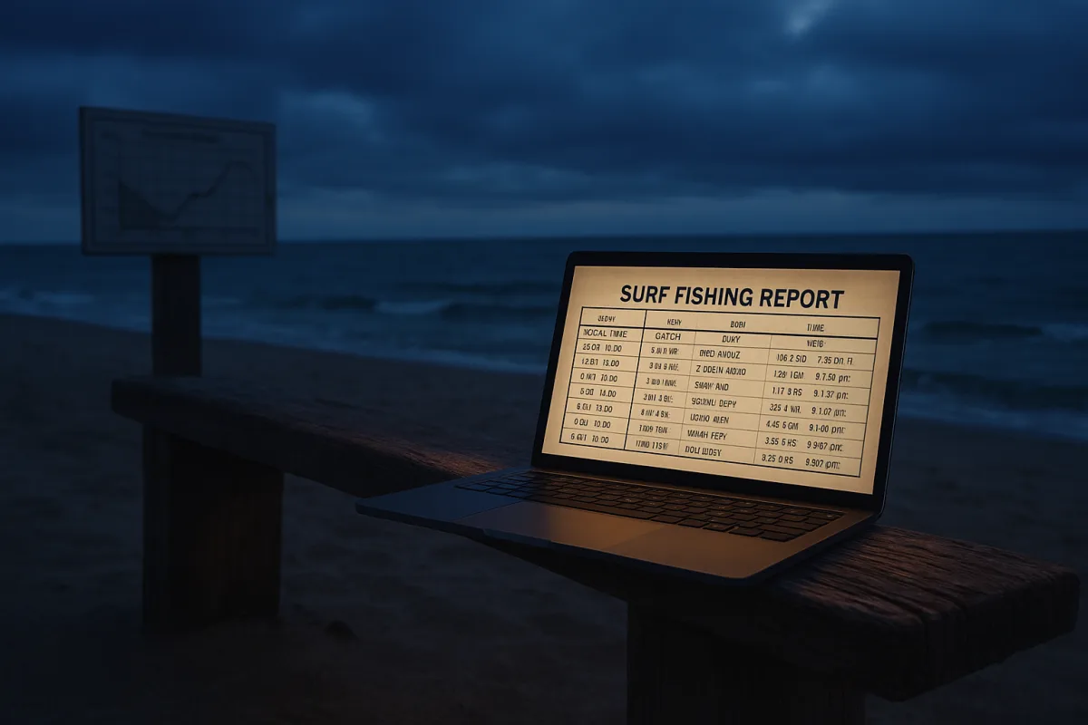
Finding Surf Fishing Reports Online: Treat Every Report as a Timestamped Observation
The useful unit is not the forecast, it is the timestamp
The most useful surf-fishing report is not a promise that fish will bite tomorrow. It is a timestamped observation: what was caught, where it happened, what bait was present, and what the water was doing at that time.
That distinction matters because surf fishing changes faster than most forecast language admits. A northeast wind can dirty a beach, push bait close, flatten a trough or make a bar unfishable within hours. Yesterday’s “excellent bite” may be history.
A worthwhile report usually gives four pieces of evidence: high and low tide times, water temperature, bait activity and species caught. Better reports also identify the bait or lure that produced, rather than stopping at “fish are around.” [3][5]
Read those fields as one record, not four separate tips. If bluefish were caught on metal at first light with mullet moving south, that tells you more than a colored activity score. It describes a feeding event.
The central job when finding reports online is therefore simple: locate observations close enough in place and time to be relevant, then match them against the tide and weather window you can actually fish.
Start with the report’s location, not its app rating
Fishing apps and surf-report platforms can have high user ratings and large review counts, but popularity is not the same as local usefulness. A polished app may offer excellent charts for a coastline where nobody submits beach-level fishing information. [2][3]
On the US East Coast, the reporting network is generally strongest. That is where anglers are most likely to find daily surf-specific updates, shop reports, pier notes and beach reports that separate a productive inlet from an empty open beach.
The Outer Banks Surf Fishing report, for example, is built around conditions at Nags Head, nearby piers and the local surf rather than a vague regional forecast. It combines live conditions with fishing-report material, which is the sort of narrow geographic focus worth seeking. [5]
That does not mean every Outer Banks beach fishes alike. A report from a pier or a protected stretch may not describe an exposed beach several miles away. Treat it as evidence of the larger pattern, not proof of your exact cast.
West Coast and Gulf Coast anglers often have a thinner supply of dedicated surf reports. Information may be folded into general saltwater reports, charter updates or boating forecasts, which can still help but may not identify beach access, troughs or shore-bound bait.
International coverage is similarly uneven. South African anglers, for example, can find forecast-oriented services such as CastAlert, but availability of surf-specific catch reports depends heavily on the local community feeding the platform. [15]
The rule is unsentimental: a mediocre-looking local report updated by someone who fishes that strand is usually more useful than a sophisticated global app that knows your coordinates but not the bait run.
Build a report chain before choosing a beach
A practical online search uses several sources, but they should serve different jobs. One source supplies local catches, another supplies tides, another supplies wind and swell, and a map helps determine whether the reported location resembles your intended beach.
Surfline is primarily a surf-conditions service, so it is useful for wave, wind and break information that affects whether a beach can be fished cleanly. Its premium tiers also position it as a paid forecasting tool rather than a dedicated catch-report board. [1][16]
Fishing Points is more map-led. Its paid layers include nautical and satellite mapping, which can help an angler compare shore access, channels, points and nearby protected water, although a map layer does not tell you where fish fed this morning. [4]
Fishbrain belongs in the community-report category. It is commonly used for logged catches, forecasts and fishing maps, so its value rises or falls with how many nearby anglers record usable details rather than simply posting a fish photograph. [3]
Quiver and BreakFinder are surf-forecast-oriented services. They can help establish whether wave period, wind and swell direction are likely to make the beach practical, but a clean forecast is not evidence of a fishable bait presence. [7][12]
The useful sequence is this: find a fresh local catch report, check whether wind and swell have changed since it was posted, confirm the tide stage, then use maps to choose a beach with comparable exposure and access.
That sequence prevents a common mistake. Anglers often see a report of fish caught “on the beach,” then drive to the nearest sand without asking whether those fish were taken beside an inlet, on a pier shadow, or along a deep outer bar.
Tide is the number most often misunderstood
Tide times are the data point nearly every report includes, and the one most often used badly. High tide and low tide are turning points, not automatic feeding alarms. Fish respond more directly to moving water, access and prey movement. [9][10][11]
A tide chart tells you the predicted height and timing of the water at a reference station. Between low and high, the tide is flooding. Between high and low, it is ebbing. The speed and local effect of that movement vary by beach. [9]
For surf fishing, the report’s value comes from tying a catch to a phase of movement. “Striped bass at dawn on the outgoing tide” is a usable clue. “Striped bass caught Saturday” leaves out the mechanism that may matter most.
Slack water is the short period around high or low tide when the directional change occurs and current may ease. It can matter in some places, particularly where fish use a transition in current, but it is not universally productive.
The source material is appropriately cautious here. Some anglers treat slack tide as overlooked opportunity, while others find it slow because the moving water that carries scent, bait and food has weakened. Local structure decides the outcome.
An inlet mouth, bridge opening or cut through a bar can produce hard current on a modest tide. An open beach without a defined channel may show a gentler change. The same tide-table time can therefore mean very different fishing.
Do not confuse tide with current. Tides are the rise and fall of water level. Current is the horizontal movement of water, influenced by tide, wind, swell, channels and the shape of the beach. [11]
Also check the chart’s time zone and daylight-saving setting before setting an alarm. A tide prediction that is one hour off is not a small administrative error when your planned window is the first hour of daylight.
Add weather only after you have read the tide
Wind and pressure are often presented as standalone forecast numbers, but their fishing value is local. Wind determines whether the reported water clarity, casting comfort and bait position are likely to remain the same when you arrive.
A catch report posted at sunrise may have been made under light offshore wind. A hard afternoon onshore wind can turn that same beach into stirred water and heavy sweep. The original report was not wrong, it is simply expired.
This is why early morning and late evening checks matter. Those are the periods when a new report can capture the day’s fresh conditions or show whether the evening tide, bait movement and wind line are changing. [3][5]
Pressure deserves similar restraint. It may be part of an app’s fishing forecast, but no single pressure reading guarantees surf action. A local report showing active bait and current is stronger evidence than a broad forecast score.
Decide what information is worth paying for
Paid subscriptions make sense when they improve decision-making at your beaches. They do not make sense merely because an app advertises premium forecasts, satellite layers or a higher-confidence prediction.
Surfline Premium costs $15.99 monthly or $119.99 annually, while Surfline Premium+ is listed at $149.99 annually. It suits anglers who also need detailed surf and weather context, especially where wave conditions determine whether the beach is fishable. [16]
BreakFinder Premium is listed at €4.99 monthly, €39.99 annually or €99 for lifetime access. Its 16-day forecasts and unlimited-spot access suit someone comparing several surf locations, rather than seeking detailed catch reports from one beach. [12]
FishCast is listed at $7.99 monthly or $49.99 annually, and ReelRadar Premium at $4.99 monthly or $39.99 annually. Those lower-cost forecast subscriptions suit anglers who want recurring planning tools, provided their local waters receive useful coverage. [3]
FishIntel is listed at $279 annually, a much higher price point that only makes sense if its information changes frequent fishing decisions. Where’s The Fish? Premium costs £4.99 monthly and suits anglers looking for a lower-commitment paid option. [3]
FishingReport.AI uses a different model: $10 buys 20 one-time credits rather than a recurring subscription. That suits occasional trip planning, but a generated report should still be checked against tide, weather and fresh local catches. [13]
None of those prices includes the practical costs of the trip: fuel, bait, parking, access fees or a wasted dawn at an unfishable beach. The cheapest useful system is often a local report plus reliable tide and weather checks.
Let season determine how much weight to give a report
Reports become more useful when they fit the seasonal calendar. Spring through fall commonly bring distinct migrations and changes in bait availability, so the same beach can fish differently in May, August and October even under similar tides.
A report of active bait matters most when that bait is expected in the area. If seasonal movement has shifted fish down the coast, last month’s productive pattern can become a dead-end search, regardless of how favorable the tide appears.
Moon phase can add another layer. Full and new moons produce spring tides, which generally bring a greater tidal range and stronger current. That can concentrate moving bait and make a report tied to current more meaningful. [9][11]
Quarter moons tend to produce neap tides, with a smaller range and weaker tidal movement. Fish can still be caught, but reports based on strong current windows may translate poorly to a quieter tide cycle. [9][11]
The point is not to wait only for a full moon. It is to understand why a report from a spring-tide morning may not repeat on a neap-tide afternoon, particularly around channels, cuts and inlet mouths.
Know what an online report cannot tell you
The supplied reporting sources do not provide dependable, detailed guidance on choosing rigs from a report, nor do they offer a complete system for reading bars, troughs and cuts from an app. Do not pretend they do.
Use reports to narrow the time, species and general stretch of coast. Then assess the actual beach when you arrive: water color, bait, sweep, safe casting room and whether the structure in front of you matches the conditions described.
Frequently Asked Questions
How can I find reliable surf fishing reports online?
Look for reports that provide timestamped observations including what was caught, where, on what bait, and under what water conditions. Prioritize local reports that specify bait, species, and timing over broad regional forecasts. On the US East Coast, dedicated surf-specific updates are more common, while other regions may require combining general fishing reports with tide and weather data.
What information should I look for in a surf fishing report?
A useful report typically includes high and low tide times, water temperature, bait activity, and species caught, ideally naming the bait or lure that produced the catch. These elements should be read together as a single record describing a feeding event rather than as separate tips.
Which apps or websites provide the best surf fishing reports?
Top platforms in 2026 include Surfline, Fishbrain, Fishing Points, Outer Banks Surf Fishing, Quiver, and BreakFinder. Each serves different roles—Surfline and BreakFinder focus on surf conditions and forecasts, Fishbrain offers community catch logs, and Fishing Points provides detailed maps. The best choice depends on local coverage and the type of information needed.
How do I use surf fishing reports to plan my fishing trip?
Match timestamped observations from reports with the tide stage, wind, and water temperature expected during your planned fishing time. Check reports early in the morning and late in the day to capture recent changes. Use multiple sources to build a chain of information including local catches, tides, wind, swell, and maps to determine if a beach resembles the reported location.
Why are timestamped surf fishing reports important?
Surf fishing conditions can change rapidly due to factors like wind shifts and bait movements, making yesterday’s report potentially outdated. Timestamped reports provide a snapshot of what actually happened at a specific time and place, allowing anglers to compare those conditions with their planned fishing window for better decision-making.
How we researched this
This article was assembled from 16 cited references.
Nothing here is based on hands-on testing. Where a figure or finding appears, it belongs to the source cited beside it, and the writing says so rather than implying otherwise. Every source is listed below so you can check it.
Sources
- This iPhone app is a must-have for surfers | iMore
- 190+ Best Surf Report Apps for iPhone (2026) | Free & Paid
- Best Fishing Apps of 2026: Logging, Forecasts, and Maps Compared | STAT Outdoors Blog
- Premium nautical and satellite map layers
- Nags Head Fishing Report: Surf, Three Piers & Live Conditions
- BYE BYE MAGICSEAWEED แย่แล้ว!! น้องสาหร่ายแอพพยากรณ์คลื่นที่กำลังจะหายไป
- Best Surf Forecast Apps: Free & Paid Picks for 2026 | Quiver
- Fishnotify | Fun, easy-to-read fishing reports in seconds
- How to Read Tide Charts for Better Saltwater Fishing | Guidesly
- Pier Fishing Tide Charts: How to Read Them and When Fish Actually Bite | PierSeeker
- Surf Fishing: Tides And Current - The Fisherman
- BreakFinder Premium: 16-Day Forecasts & Unlimited Spots | BreakFinder
- FishingReport.AI - AI Fishing Reports for Your Exact Location, Species, and Date
- LBI NJ Fishing Report - LBI Surf Fishing, Barnegat Bay & Inlet - LBI's Premier Fishing Report By Fishermans Headquarters
- CastAlert | Fishing Forecasts & Best Times to Cast in South Africa
- Is Surfline Premium Worth It in 2026? (Price, Premium+ vs Premium, Cheaper Alternatives)
Related Articles
How to Find Fish in the Surf: Reading the Beach & Tides
Learn how to find fish in the surf by reading tides, water features, and beach structure for better surf fishing success.
How to Interpret Surf Fishing Reports for Better Fishing
Learn how to interpret surf fishing reports including tides, wind, and temperature to improve your surf fishing success.
How to Read Surf Conditions for Fishing: A Guide
Learn how to read surf conditions for fishing, including wave height, tides, wind, and water clarity for a successful outing.
How to Catch Fish During a Beach Bonfire: Tips and Safety
Learn how to catch fish during a beach bonfire with tips on tides, gear setup, safety, and legal regulations for a successful surf fishing night.